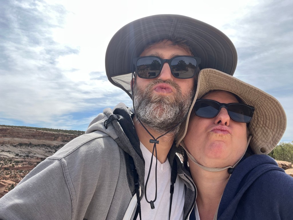
Because we are Angelenos, our home base for our return to the United States is Los Angeles. That said, we decided to take a roadtrip to the Phoenix metro area where we used to live to see friends and pick up some items we had left. Since we still have the travel bug, we decided to turn the roadtrip into an excursion and visit Navajo Nation as well. Adam had visited twice before and was very keen to show Yahm around. Since the weather isn’t too hot in Arizona yet, it was a perfect opportunity for both of us to get out of the city and see new sights.
After spending four days in the Phoenix metro, we headed northeast to Navajo Nation. Navajo Nation is the largest reservation in the United States. At around 17,544,500 acres (71,000 square kilometers) it is larger than ten U.S. states. The current boundaries of the nation overlap with the traditional lands of the Navajo people, who were able to return to their ancestral homelands in the late-1860s/early-1870s after being expelled by the federal government. The Nation’s boundaries have expanded since the Navajo returned. The largest portion of the reservation lies in Arizona, but it is also extends into New Mexico and Utah. Much of the Nation is extremely rural to the point where gas stations or other roadside services are absent for long stretches. Cell phone and internet dead zones are also common.
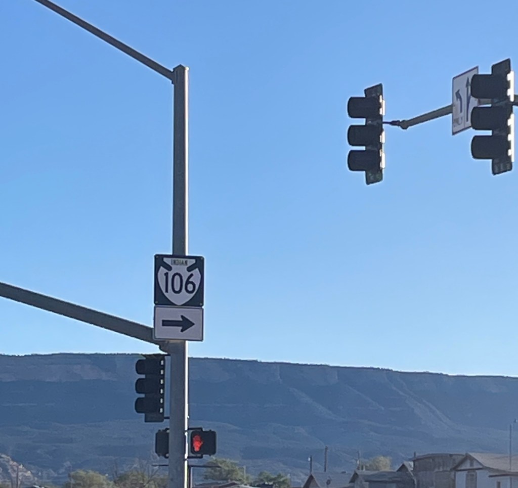
Tribal laws do not supersede federal laws and therefore the federal government can have a strong influence on federally-recognized reservations and their residents. As an example, federal agencies such as the Bureau of Indian Affairs (BIA) fund and help build many of the roads within federally-recognized tribal lands. Roads within reservations funded by the BIA are called Indian Roads, similar to other designations such as U.S. Highways or U.S. Interstates. Indian roads are not always paved and are often necessary corridors to connect rural townships to even more remote areas.
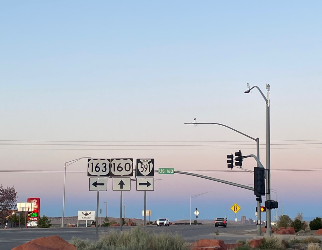
Photos, left to right: a sign for Indian Road 106; signs displaying a junction where US Highways 160 and 163 meet with Indian Road 591
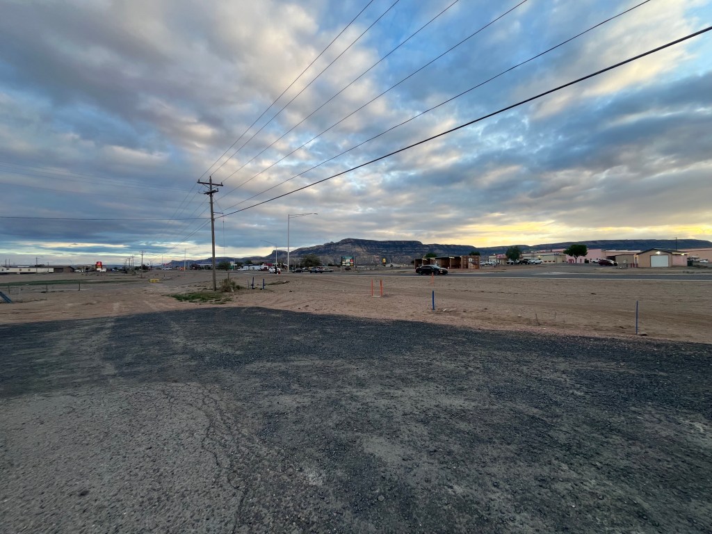
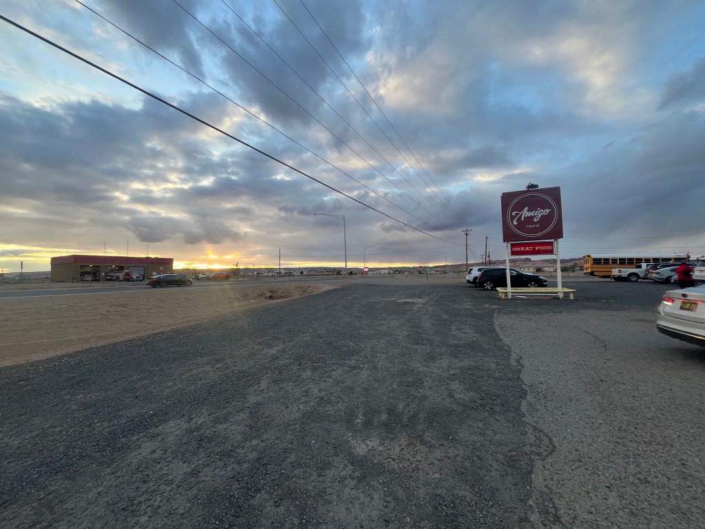
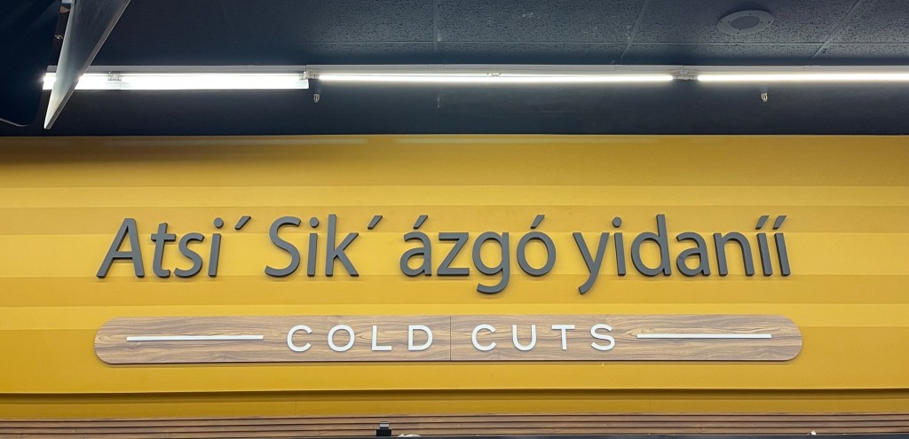
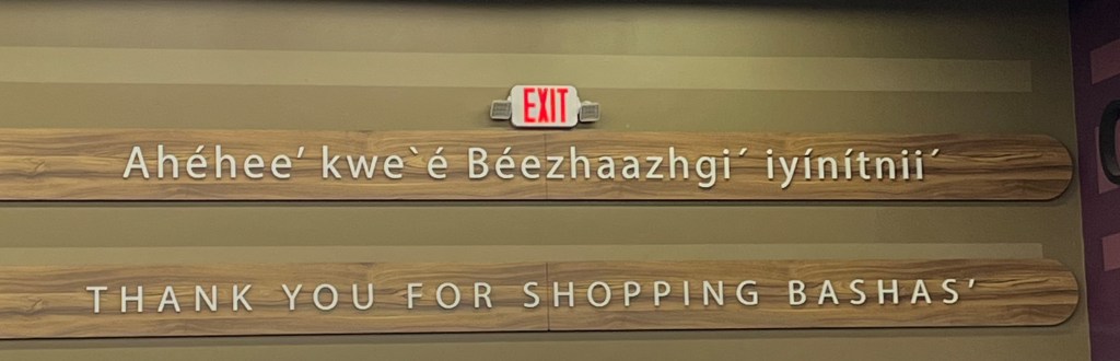
Navajo is a name Spanish conquistadors gave the tribe upon contact. They refer to themselves as Diné (“the people”) and their language is called Diné as well. Throughout our trip, we saw signs and billboards in Diné, as well as heard people speaking to each other in their language. We based ourselves in the township of Kayenta, one of the larger towns in the Nation. That said, it was still very remote with only 2 hotels, 3 non-chain restaurants, and 3 gas stations.
Top row: views of Kayenta
Bottom row: signage in a grocery store in Diné and English
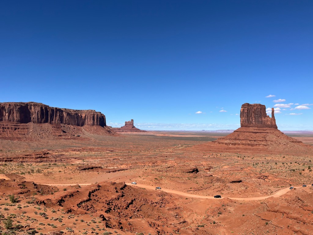
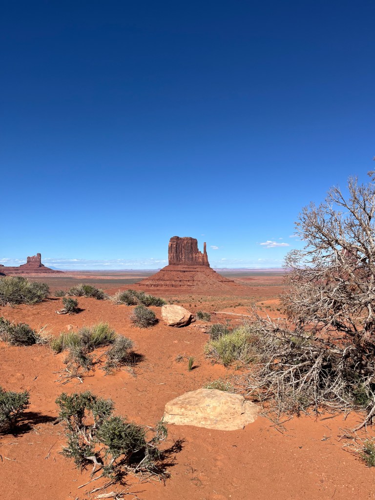
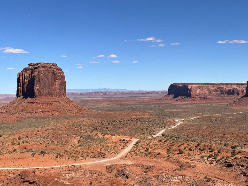
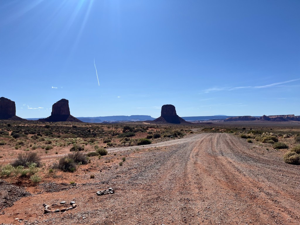
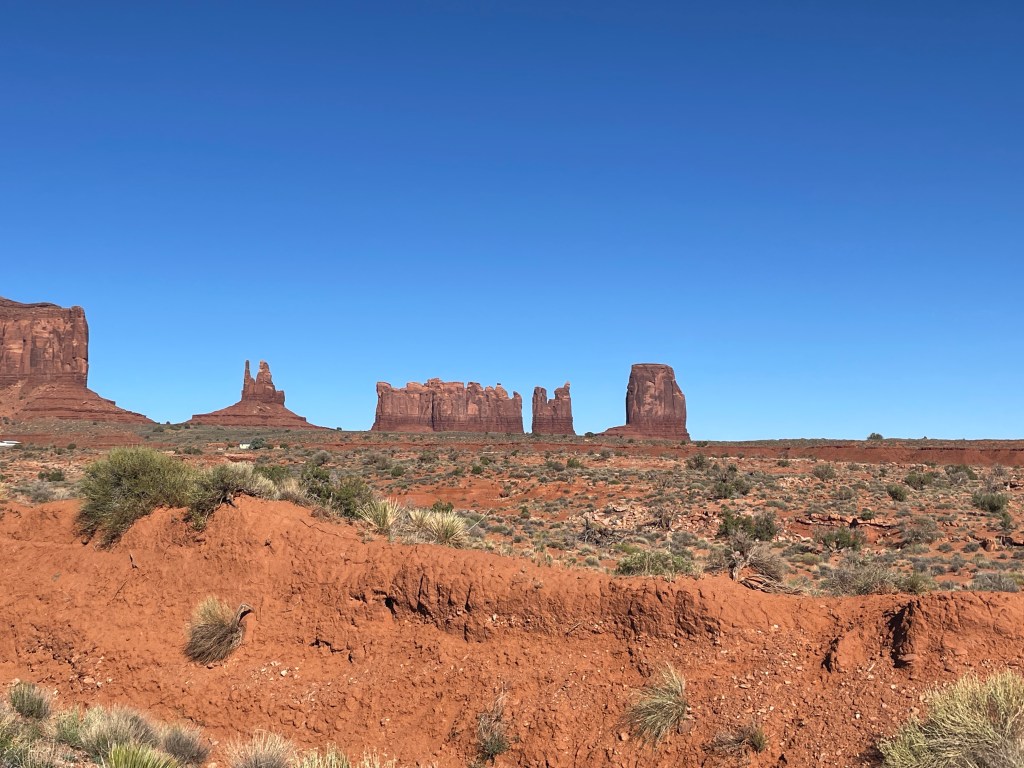
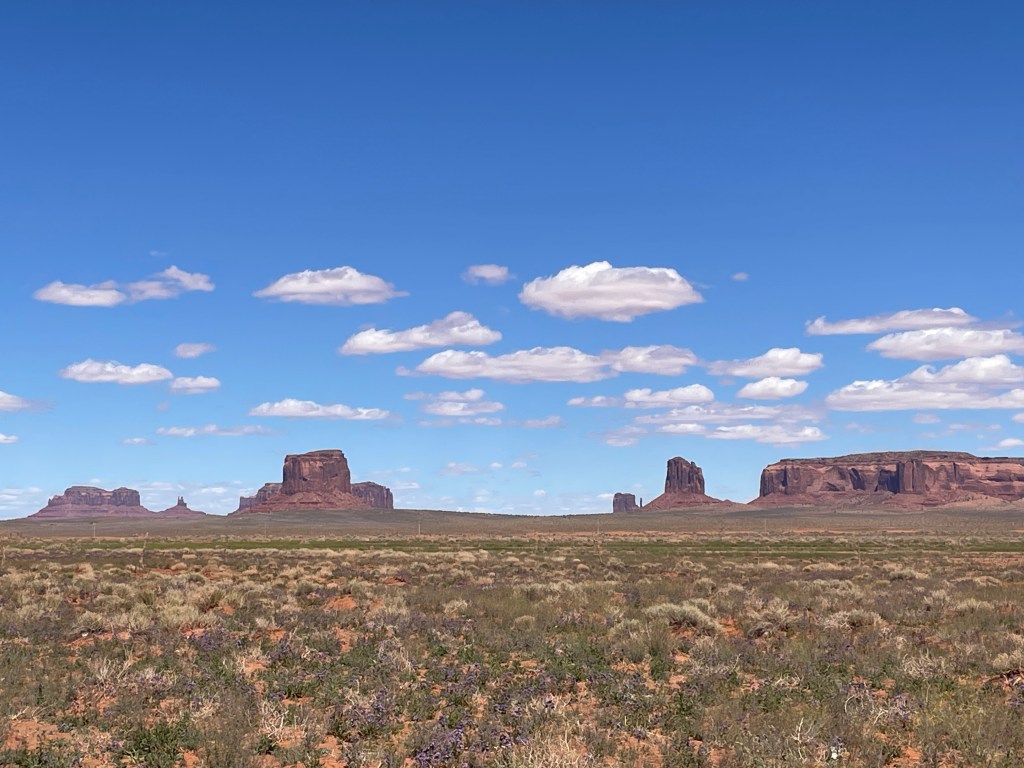
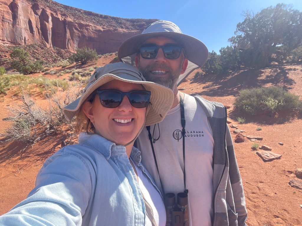
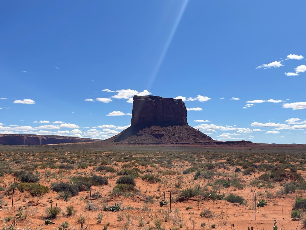
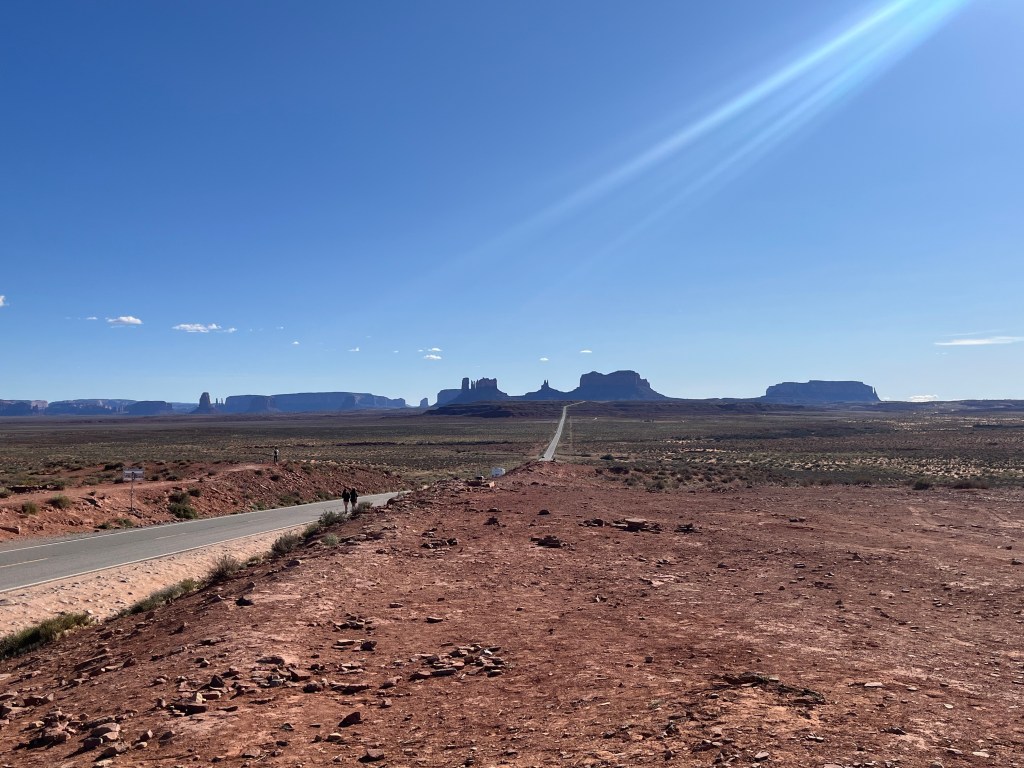
The first place we visited was Monument Valley, a tribal park located in central Navajo Nation. The park features incredible vistas, many of which have become symbolic of the American West. Visitors can hire motorized guided tours or hike on numerous trails both in and above the valley. Though we arrived late in the day, we had an opportunity to hike around and enjoy the views.
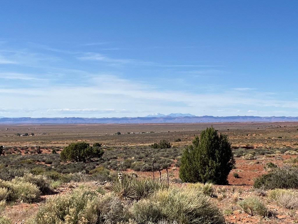
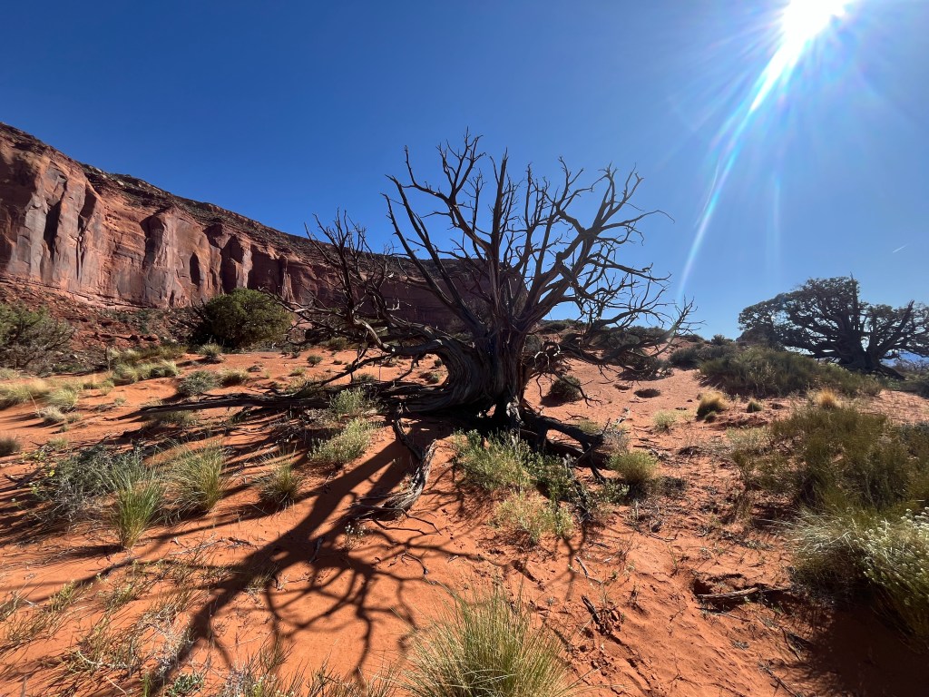
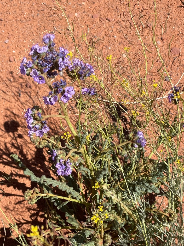
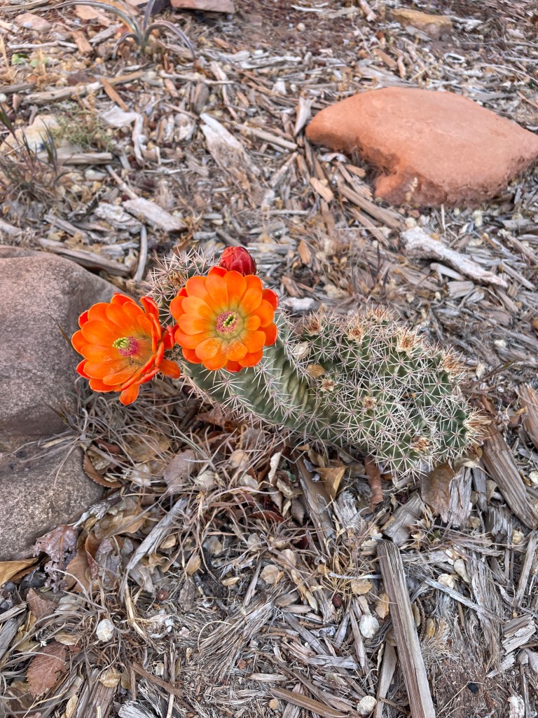
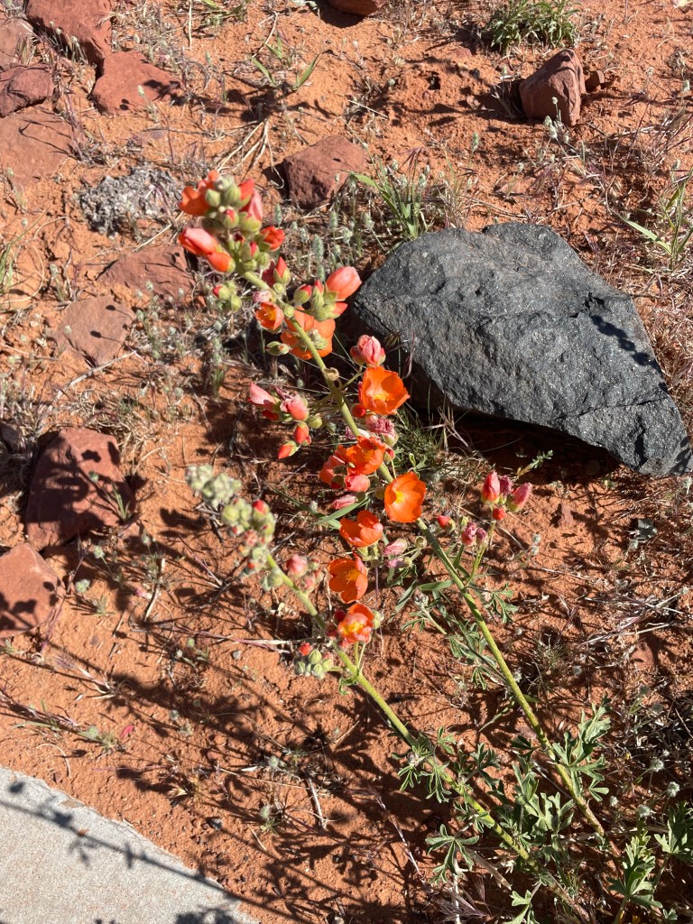
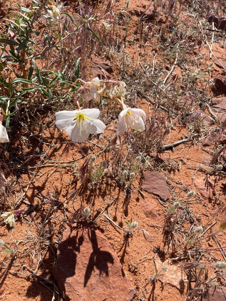
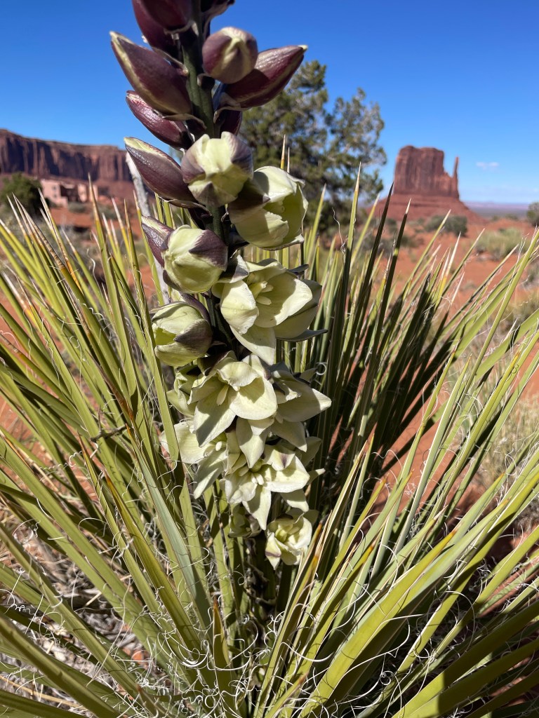
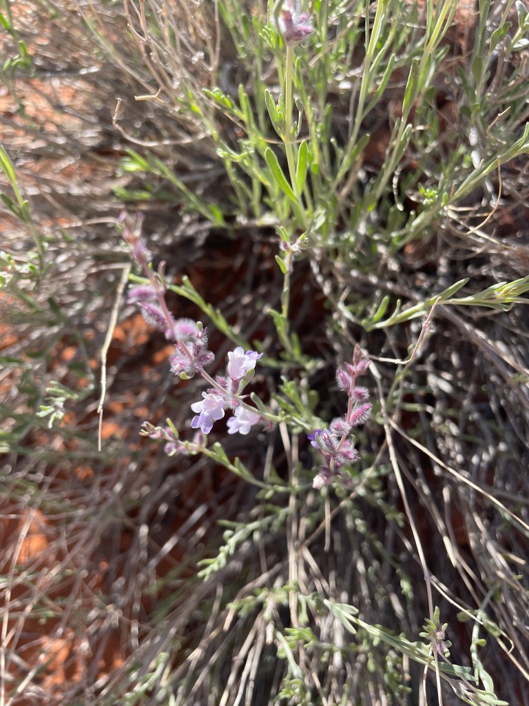
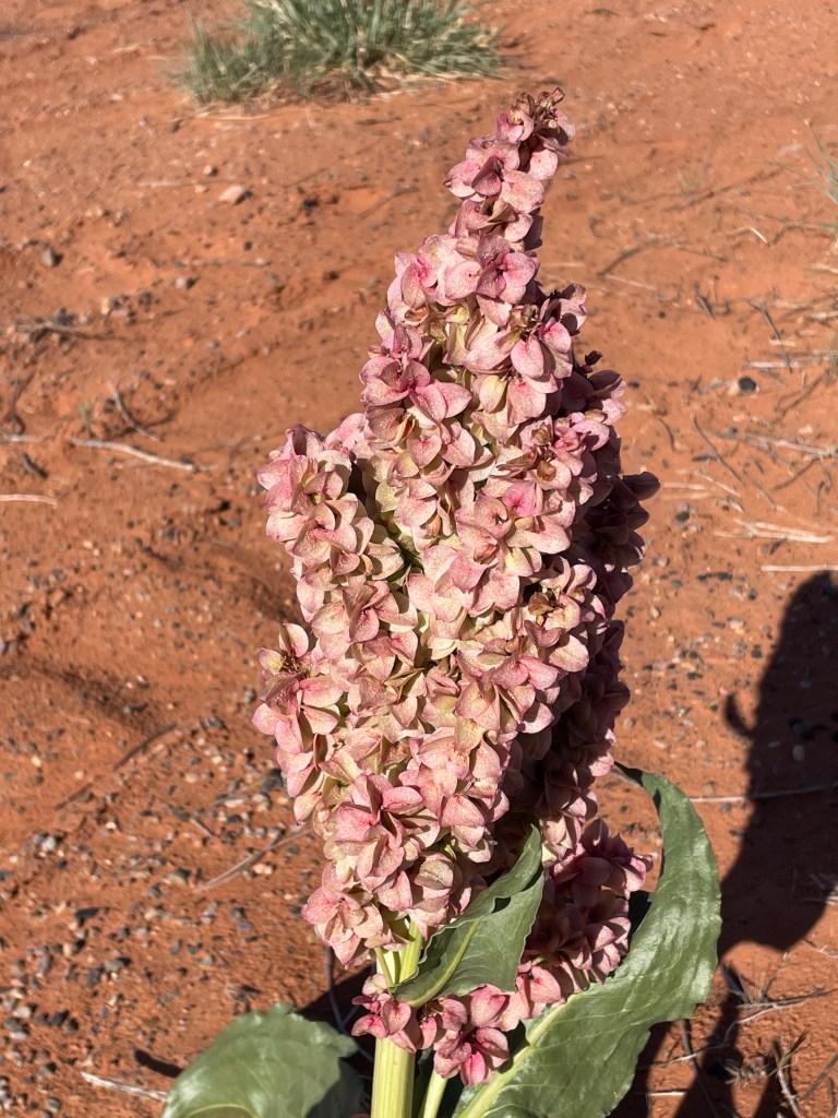
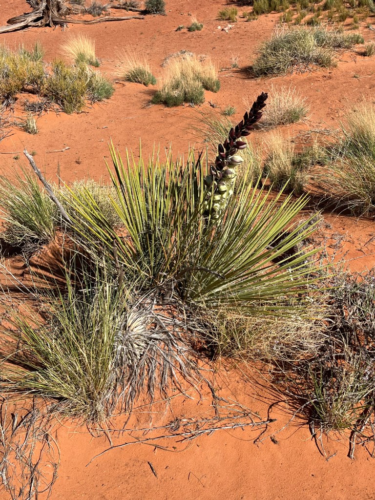
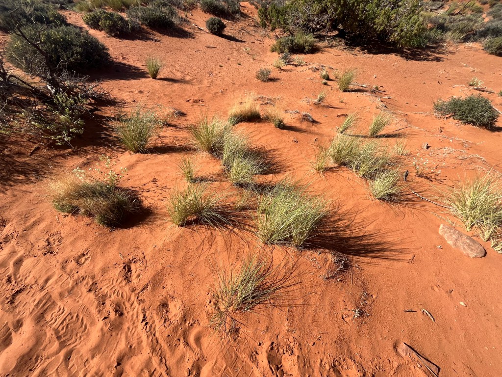
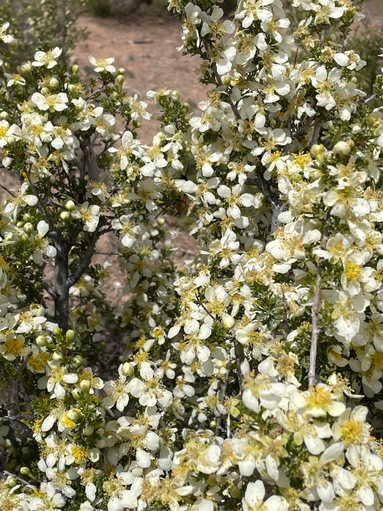
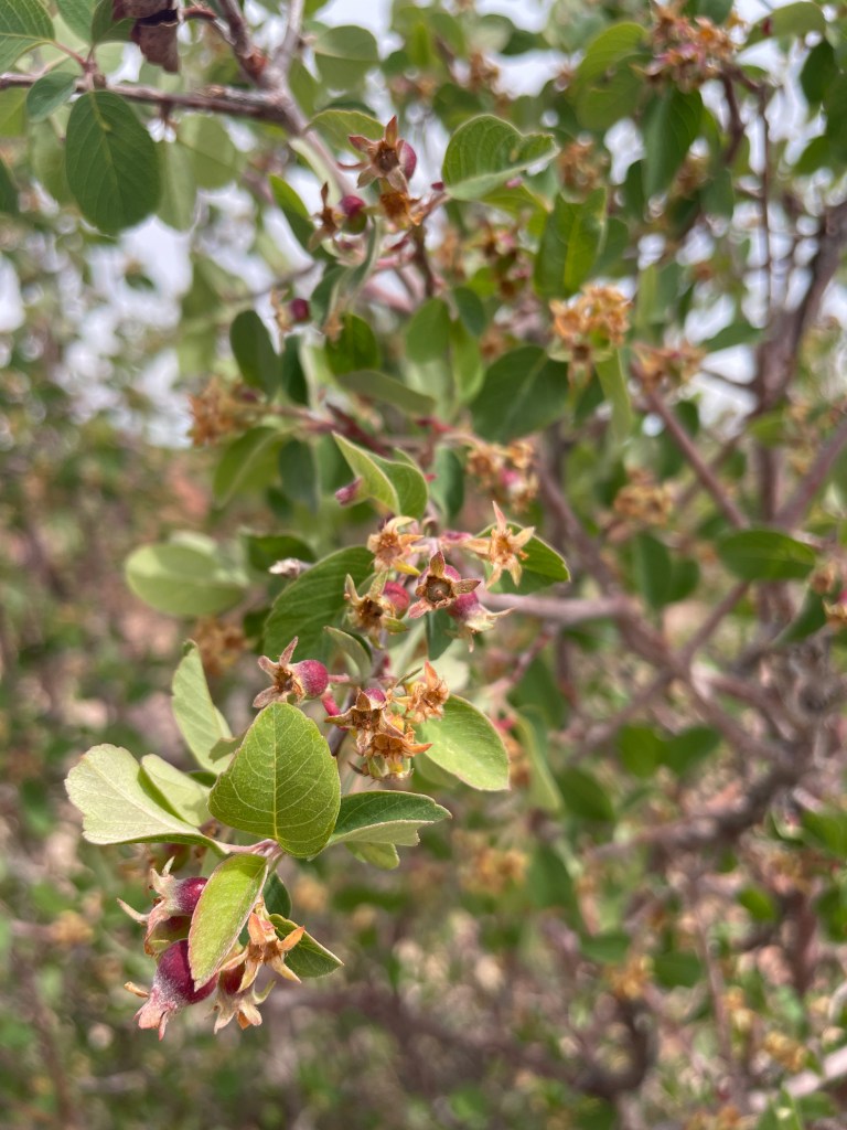
Below are photos of some of the plant life native to the Great Basin. Not only is the Great Basin the driest desert in North America, but also among the driest on the planet. Winters can get quite cold and extremely windy. Plant life in this desert has to be hardy and adaptable, though that doesn’t mean they can’t be beautiful.
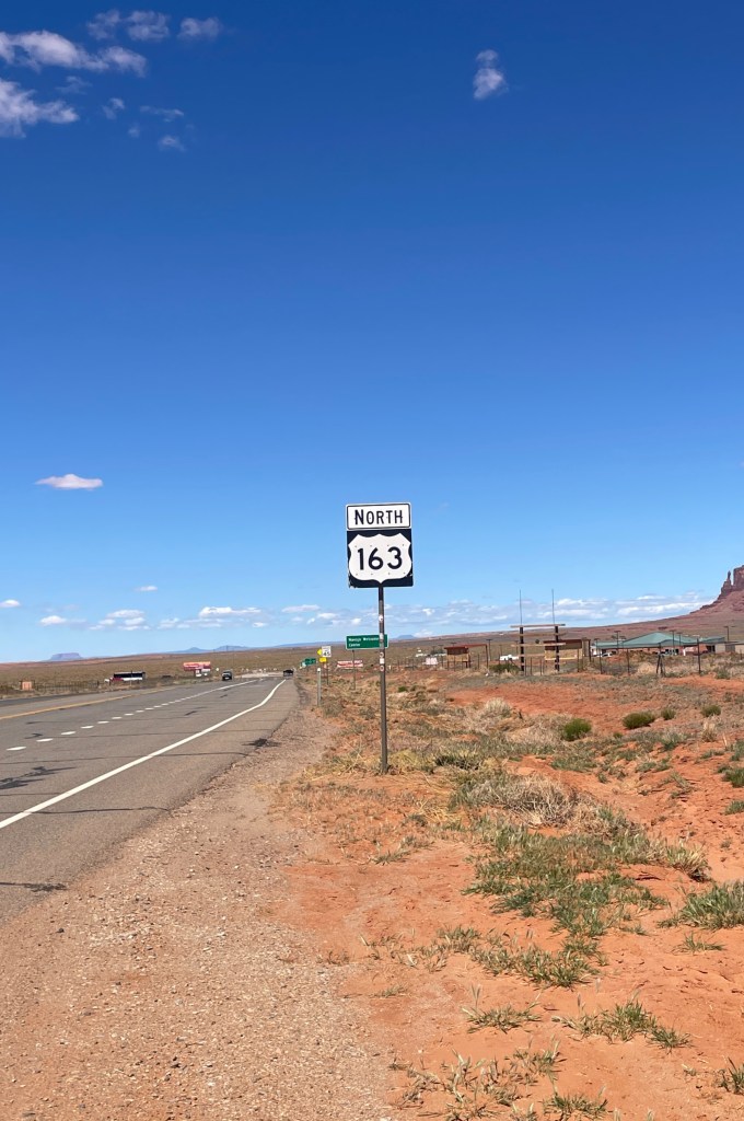
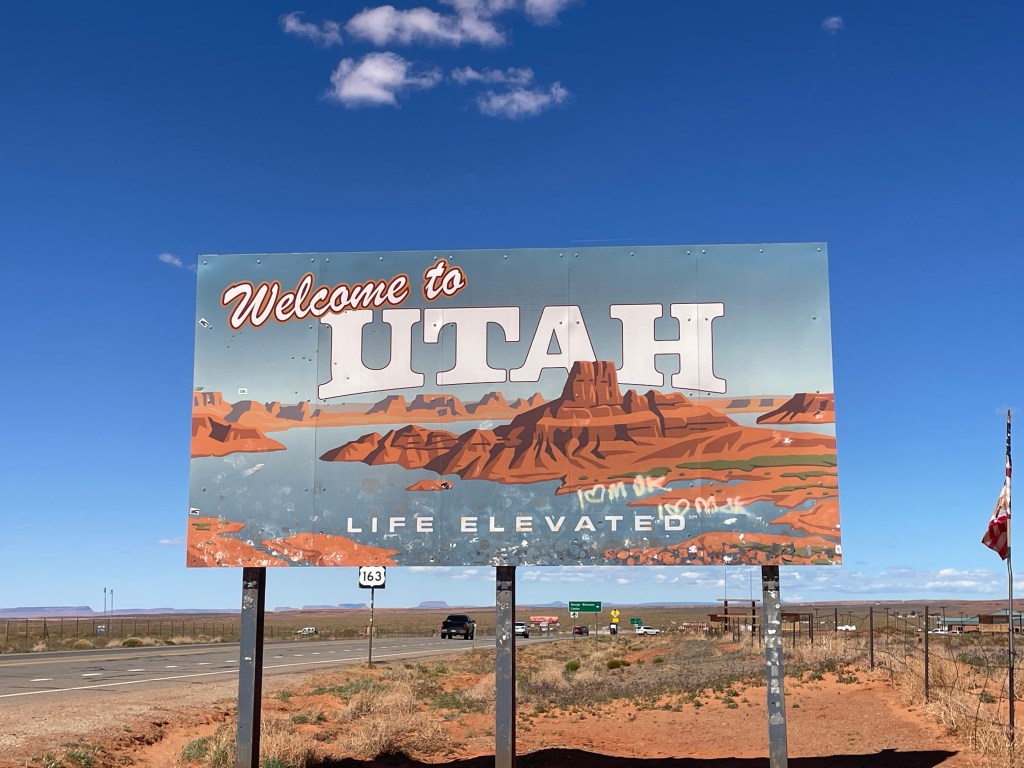
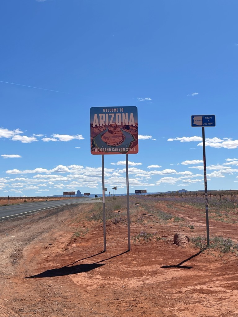
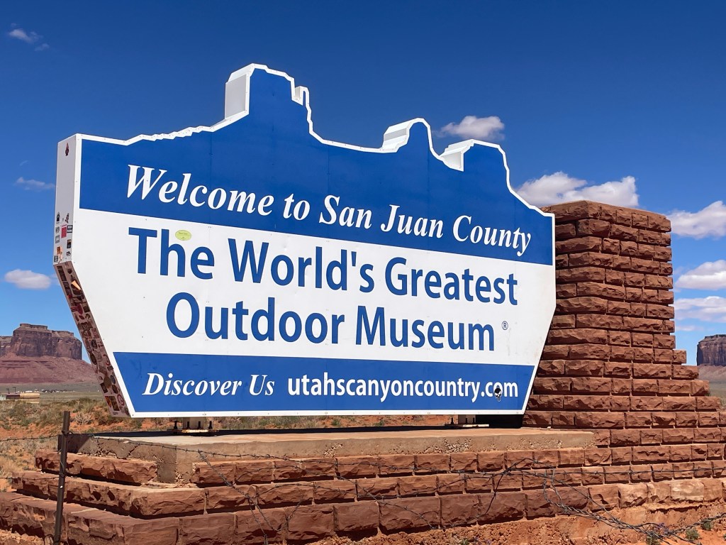
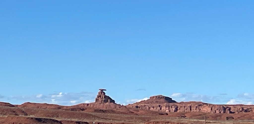
After our visit to Monument Valley we drove north into Utah for 23 miles to the town of Mexican Hat. We took photos of the eponymous rock formation and the San Juan River, a large tributary of the Colorado River which flows through the area.
Top row, left to right: Signage for US Highway 163; welcome signs for Utah and Arizona
Second row, left to right: welcome sign for San Juan County (Utah); the rock formation that gives the town of Mexican Hat its name; a rock formation
Third row, left to right: a view of Highway 163 (S) at Forrest Gump Hill from the movie Forrest Gump; views of the San Juan River
Video: a Rez dog, or stray dog, that lives on the reservation

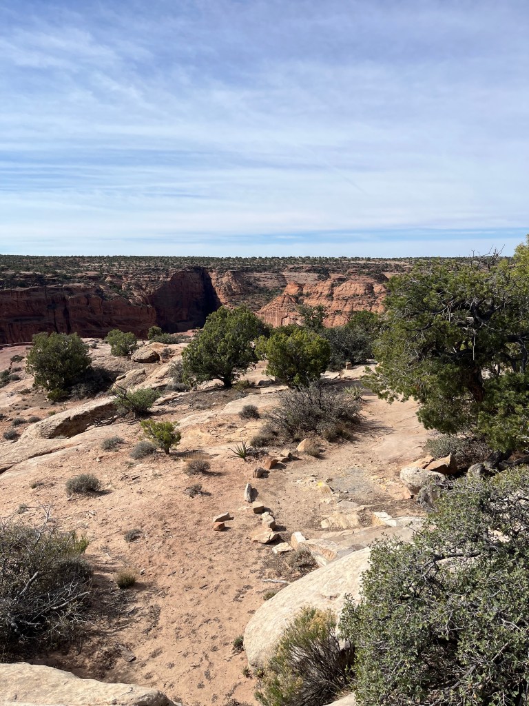
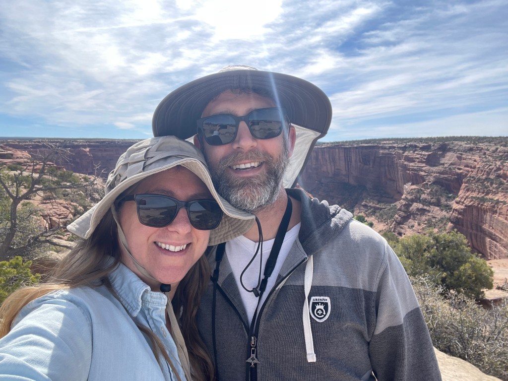
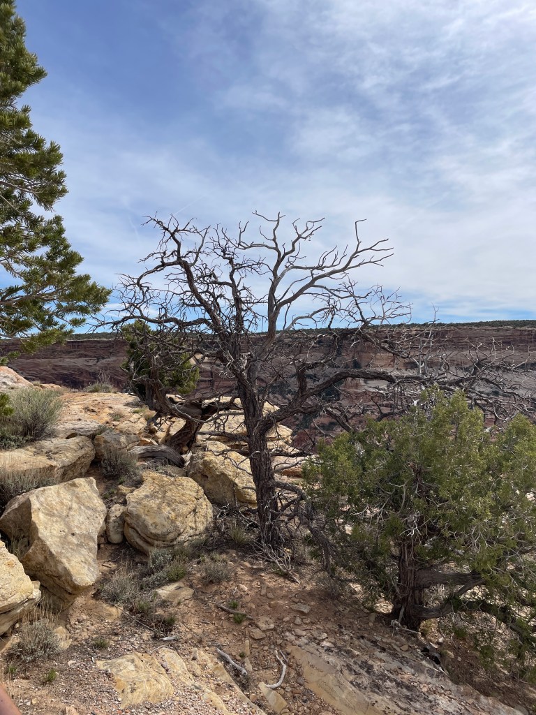
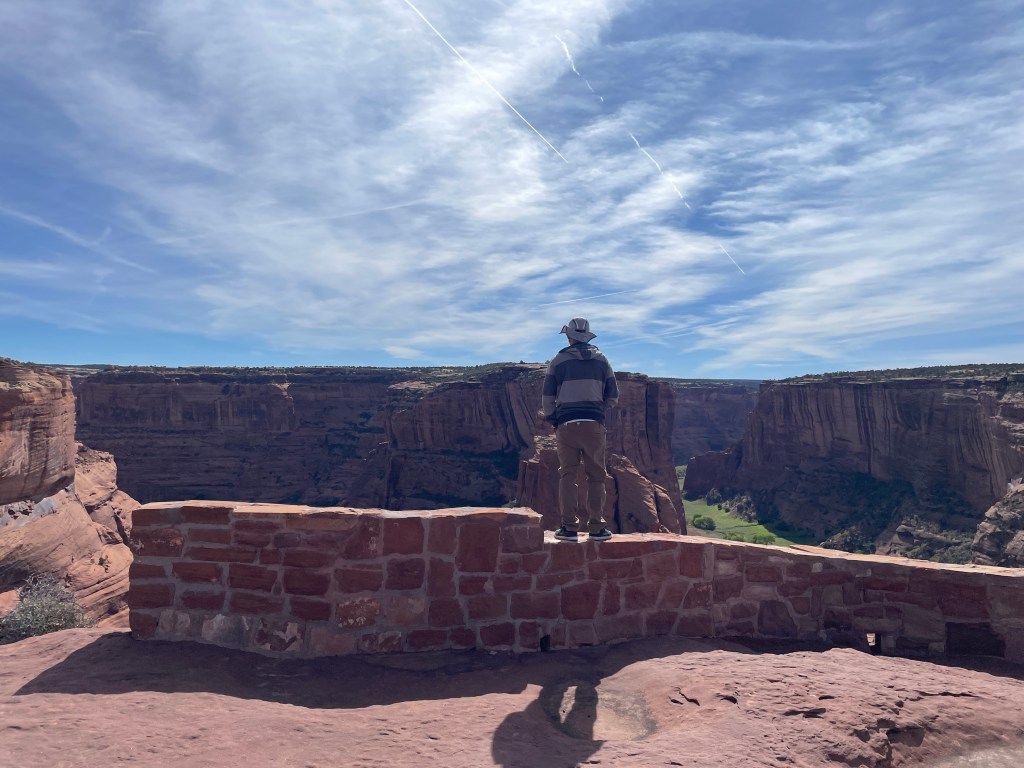
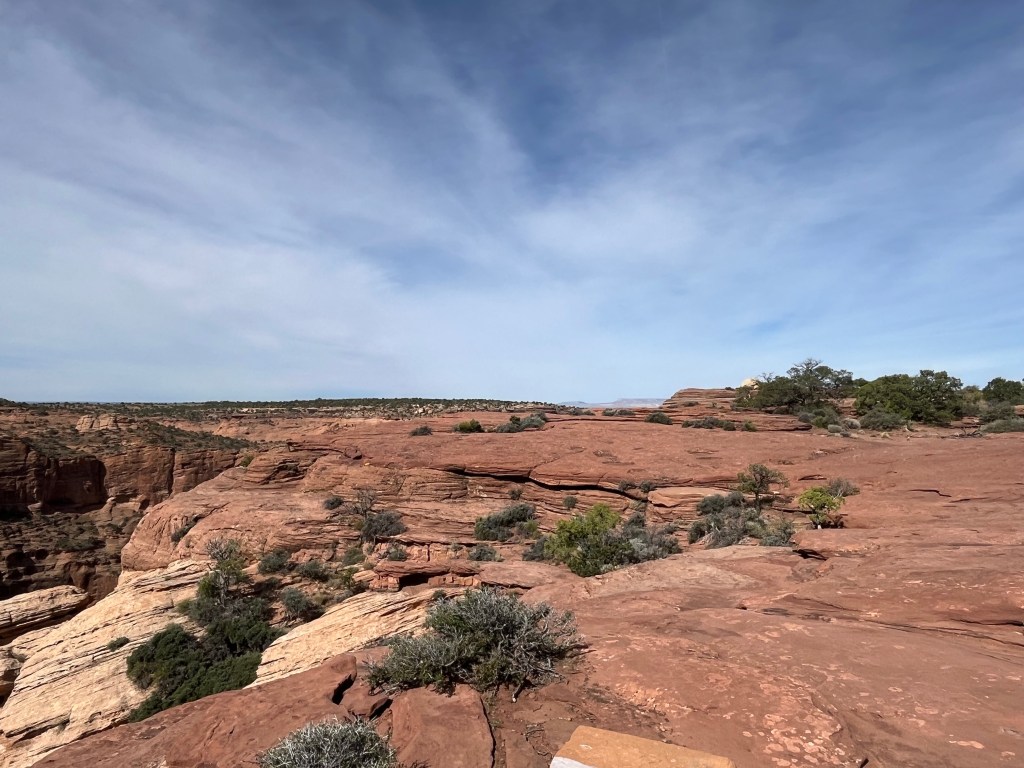
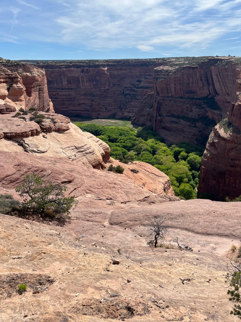
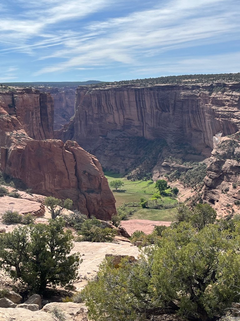
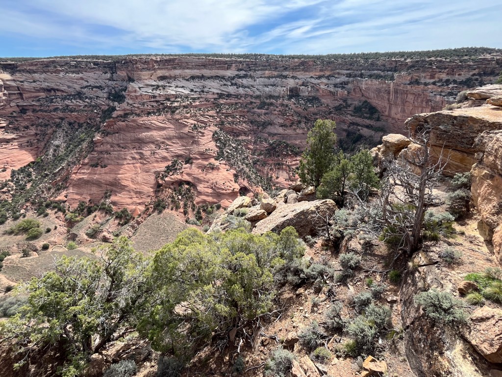
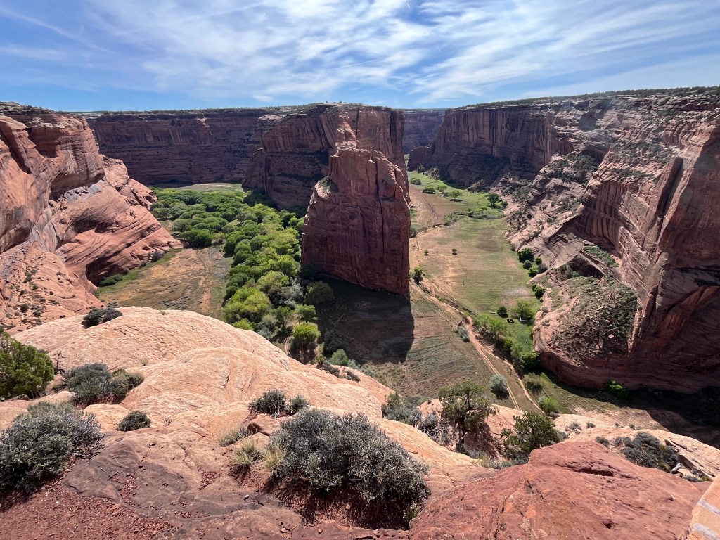
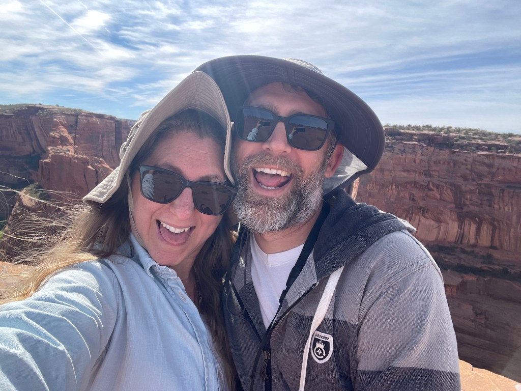
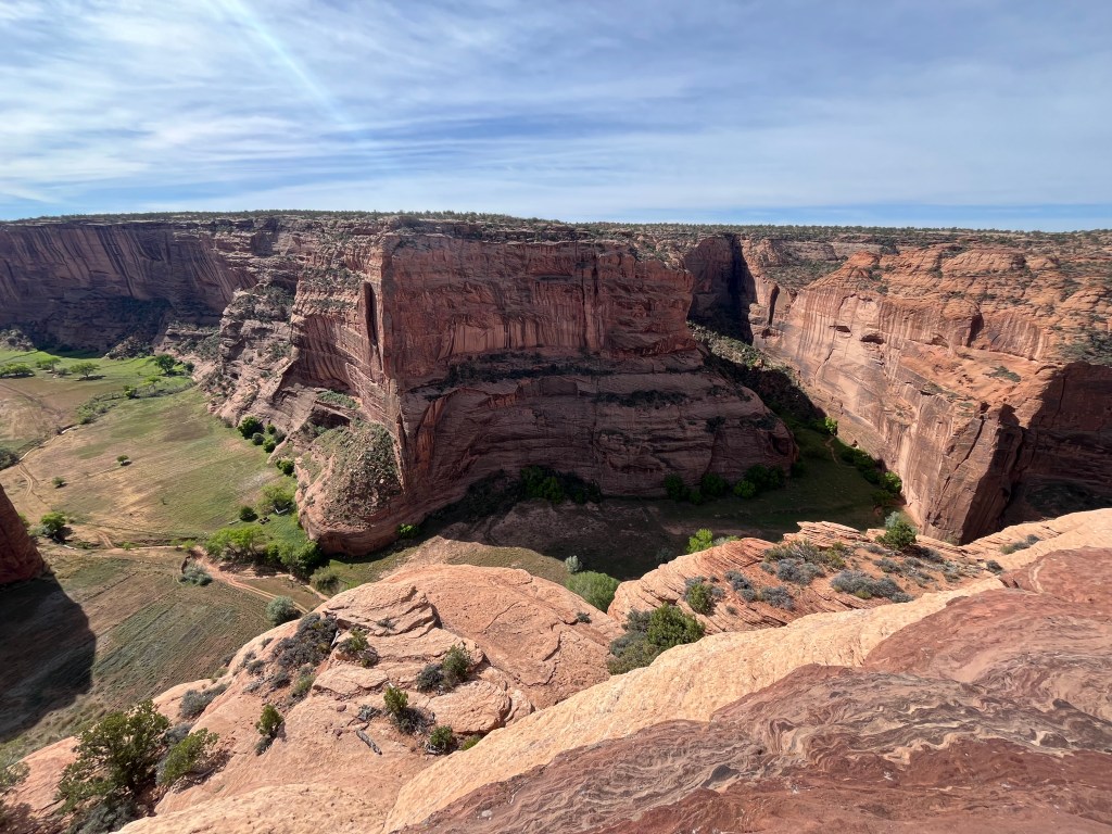
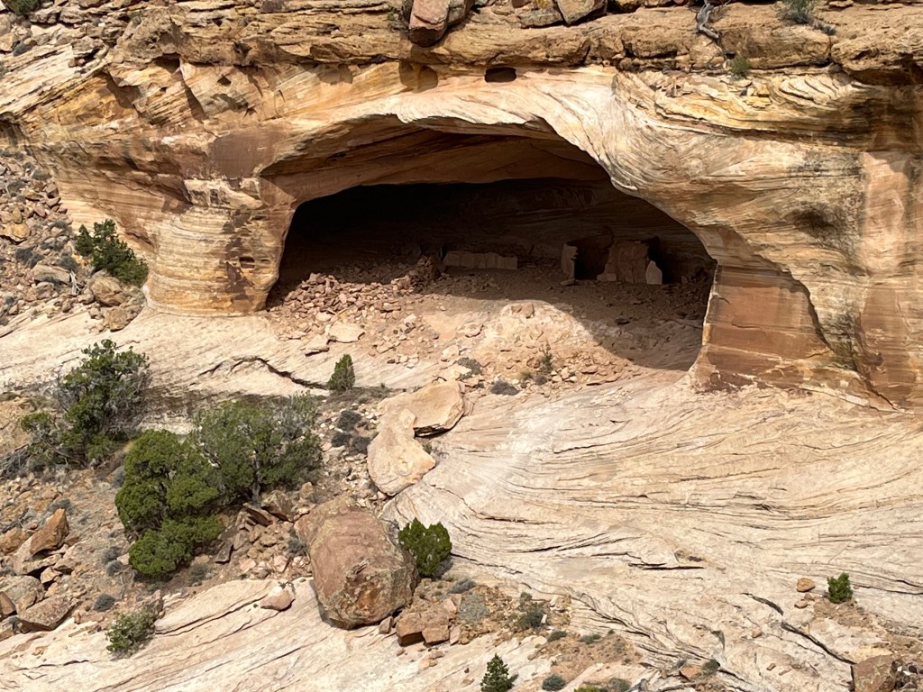
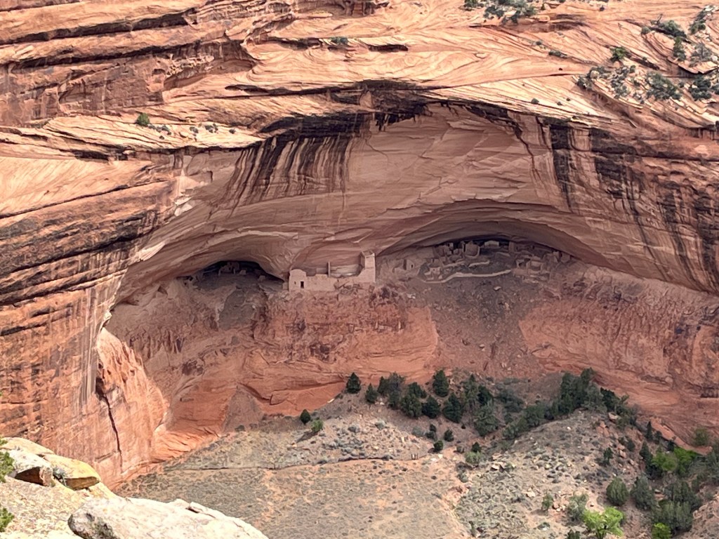
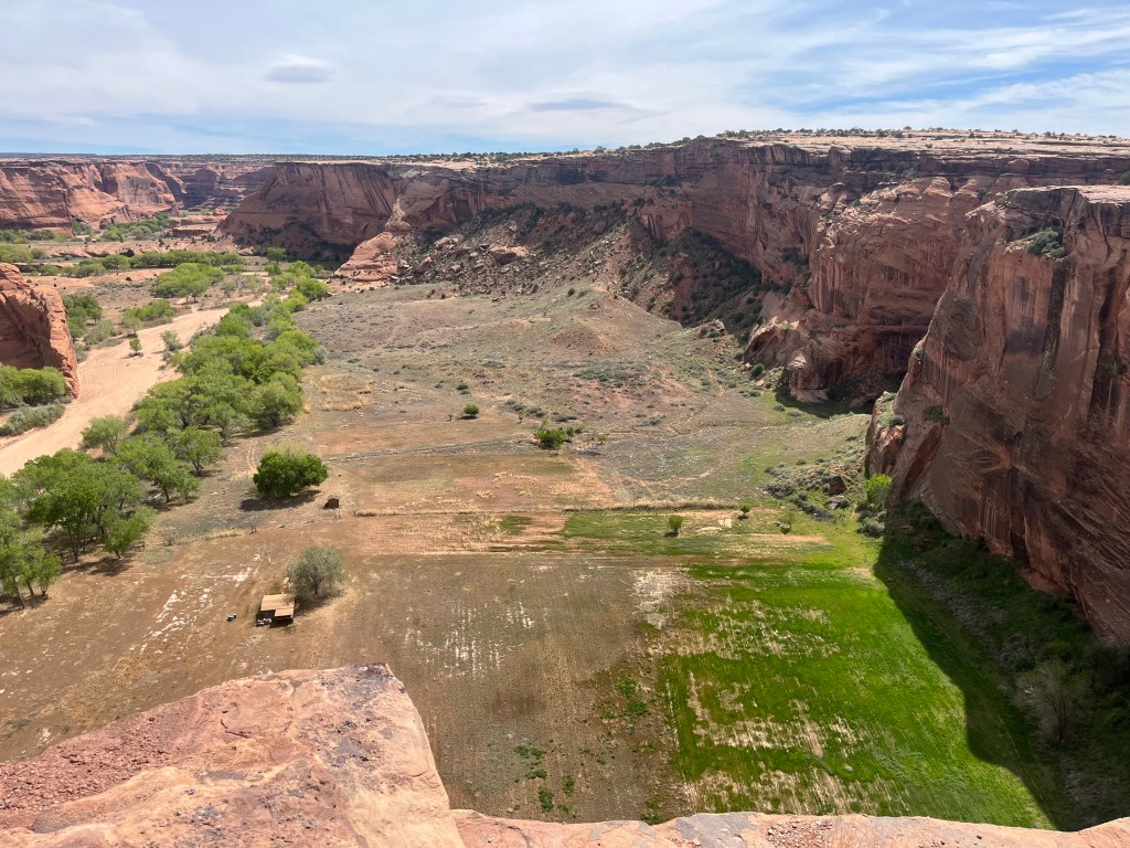
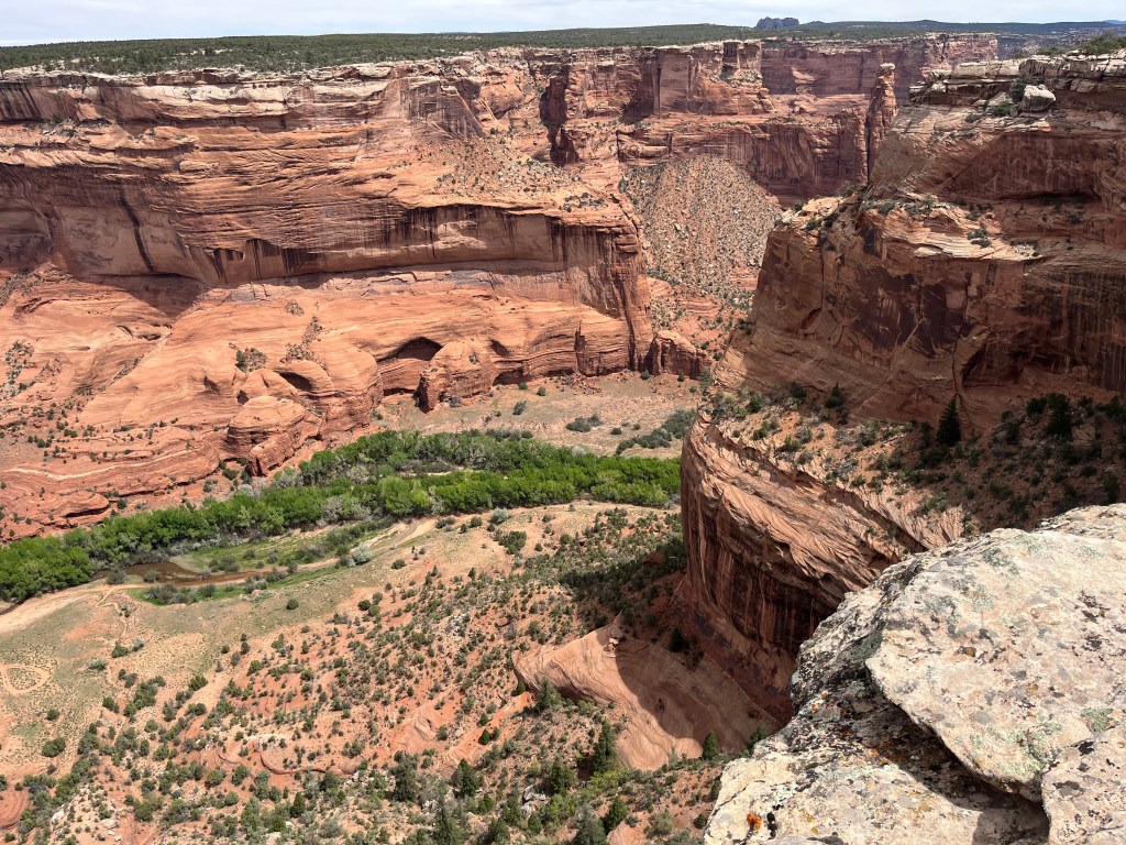
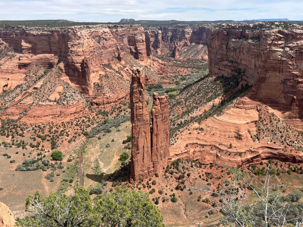
The next day we visited Canyon de Chelly National Monument, which Adam has visited twice before. People have been living in Canyon de Chelly for over 5,000 years since the bottomlands have creeks and rivulets that create fertile land for farming. Farming in the canyon continues to this day amid ancient ruins and weathered rock formations. Roads that bisect the canyon provide visitors with ten overlooks and a hiking trail. (Adam may have been adventurous enough to hike into the canyon and back up, but Yahm doesn’t do well when there isn’t much shade.) Instead, we visited the overlooks and tried not to get knocked over by all the wind. Below are some of our favorite photos.
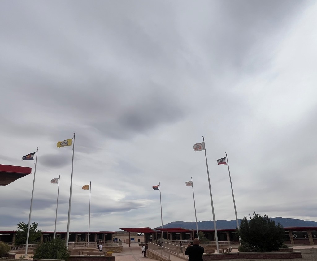
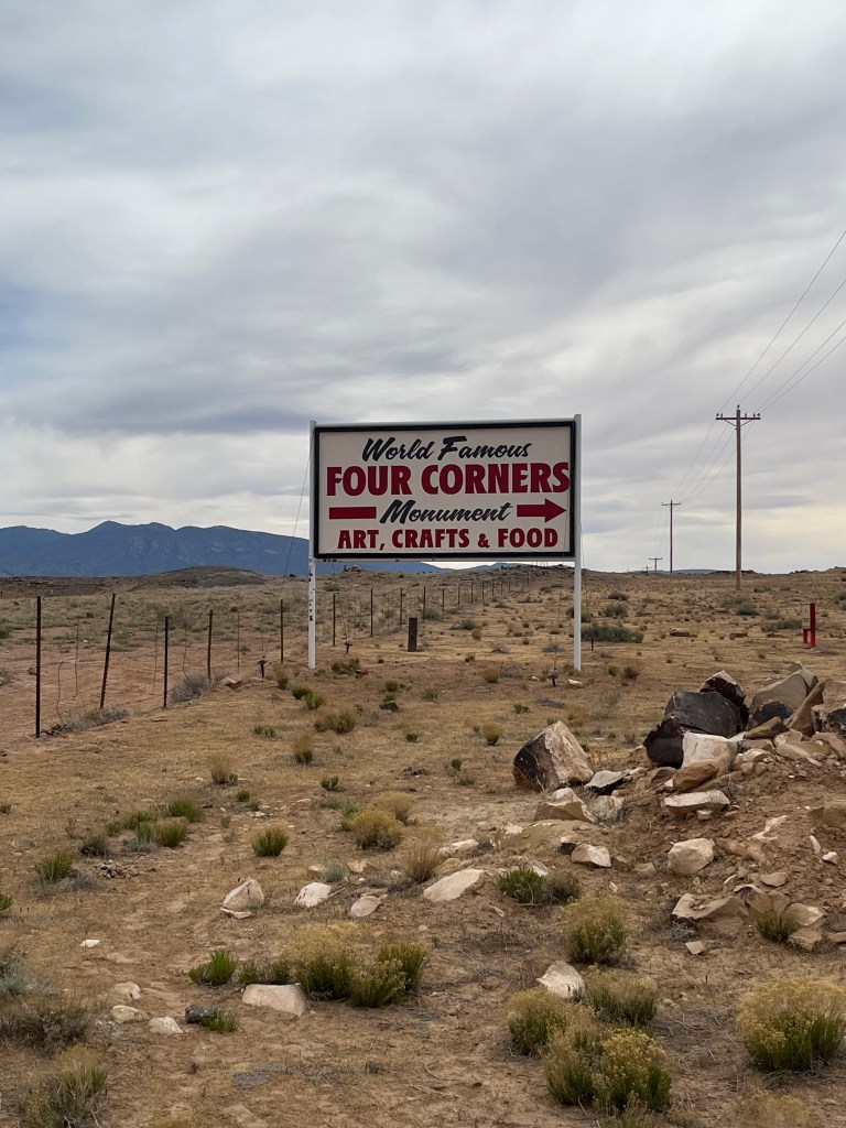
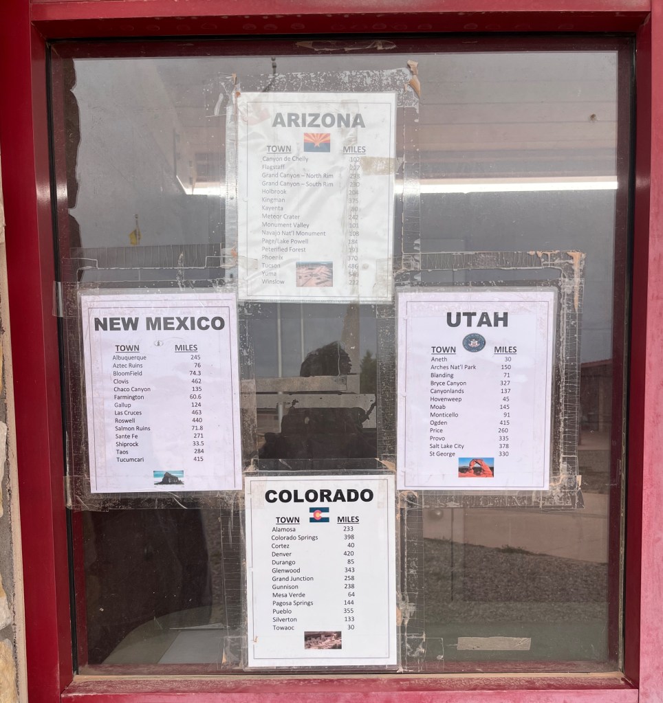
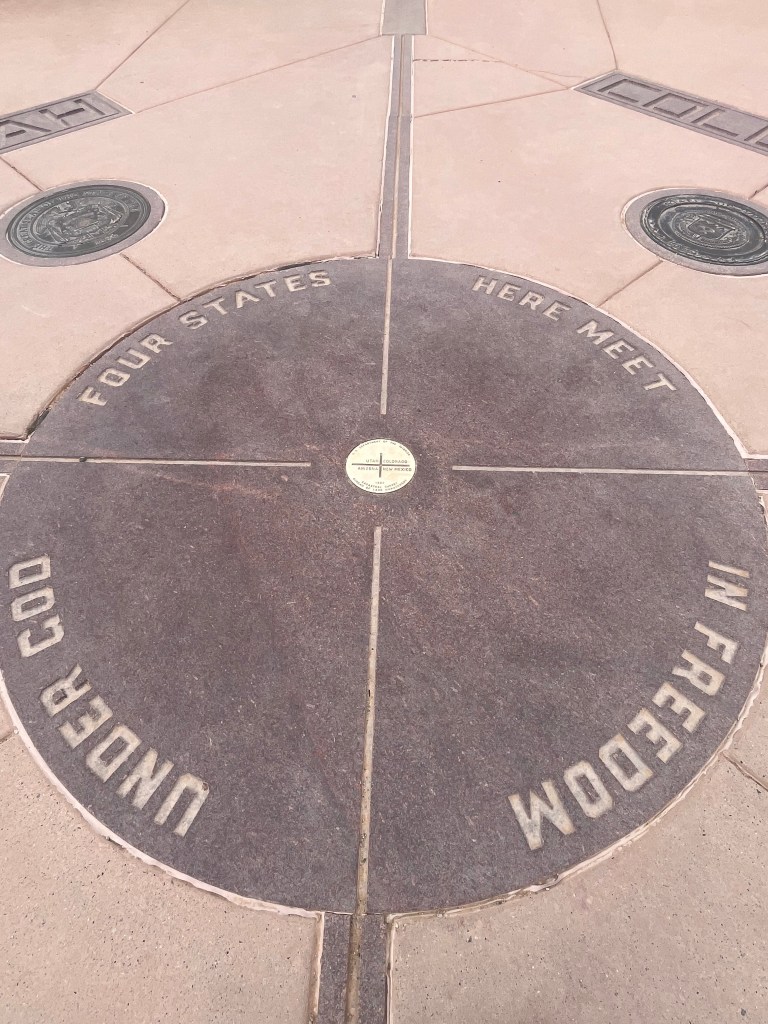
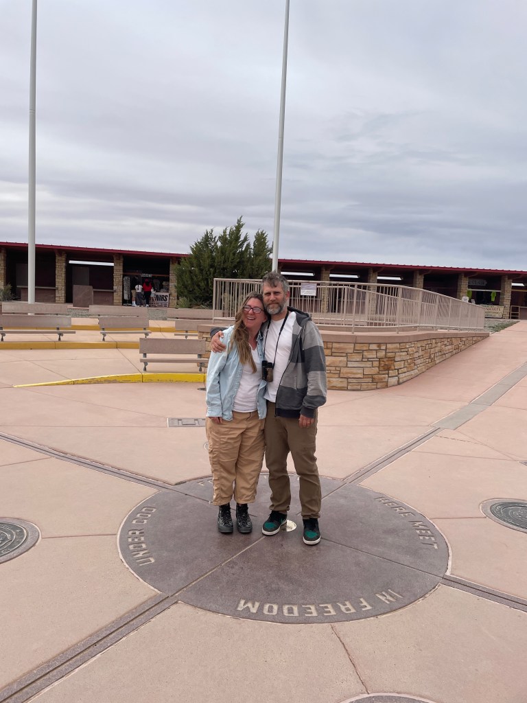
After a few hours at Canyon de Chelly, including eating a picnic lunch near the visitor center, we headed northeast to the Four Corners Monument, which is the meeting point of four states (Arizona, Colorado, New Mexico, and Utah). This monument is the only place in the United States where four state borders touch. Besides the actual point where the states touch, there isn’t much else to see. Still, we took lots of photos in all four states. Yahm can now officially say she has stepped foot in Colorado for the first time!
Top row, left to right: flags of all four states and the Navajo Nation flag; Four Corners welcome sign; lists of distances from the monument to specific cities in all four states
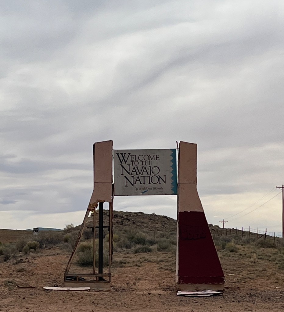
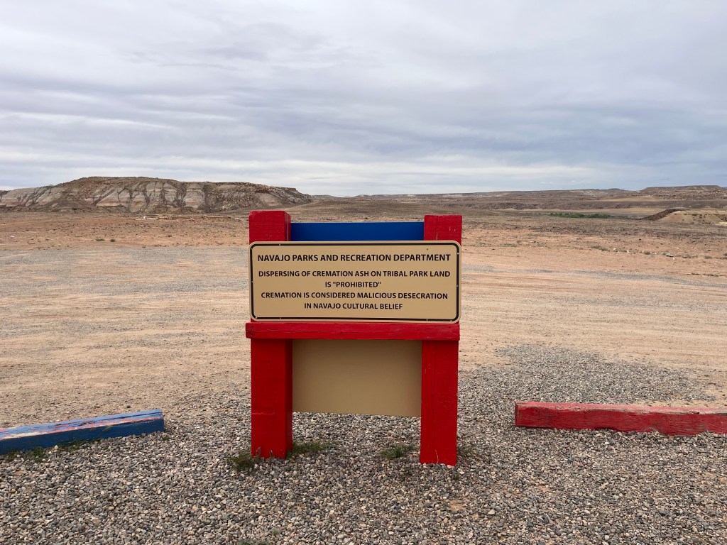
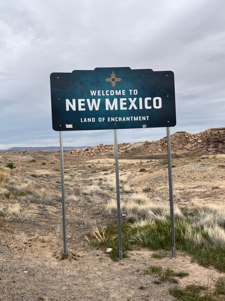
Second row, left to right: Navajo Nation welcome sign; a sign restricting the spread of ashes in the monument because it is disrespectful to Diné beliefs; New Mexico welcome sign
Third row, left to right: center of Four Corners; a photo of us (it was really windy)
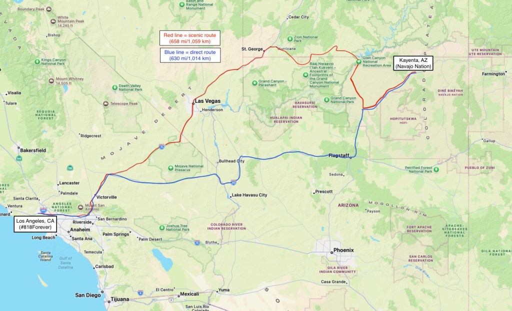
The next day, it was time to head back to Los Angeles. Rather than drive directly from the northeastern corner of Arizona to Southern California, we decided to take the scenic route. It only added an hour, but we had the opportunity to visit parts of Arizona, Utah, and Nevada we had never seen before. One of our bucket list goals is to drive along all of the interstates in the United States, so we also got to check off more of Interstate 15 (I-15). Below is a map of the direct route (blue line) and the scenic route (red line).
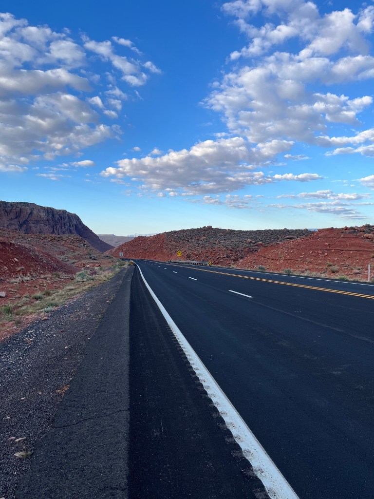
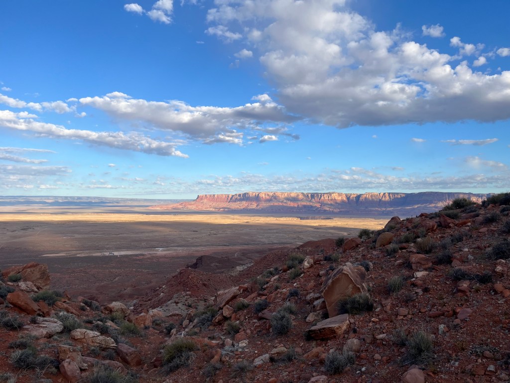
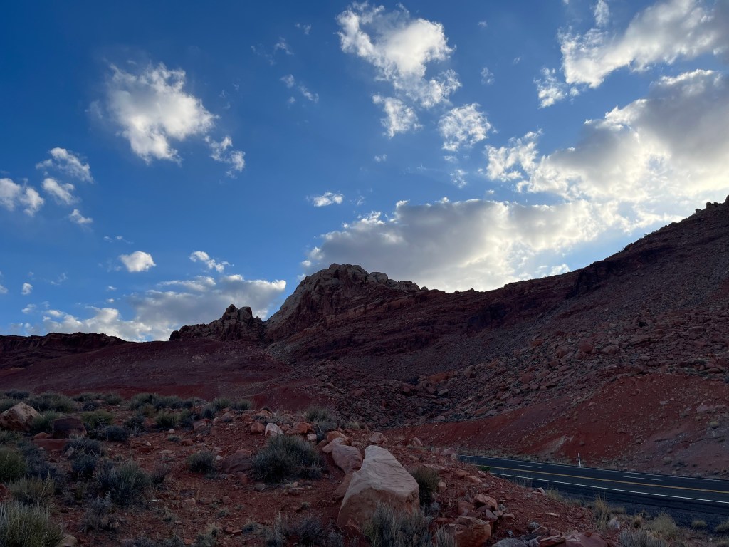
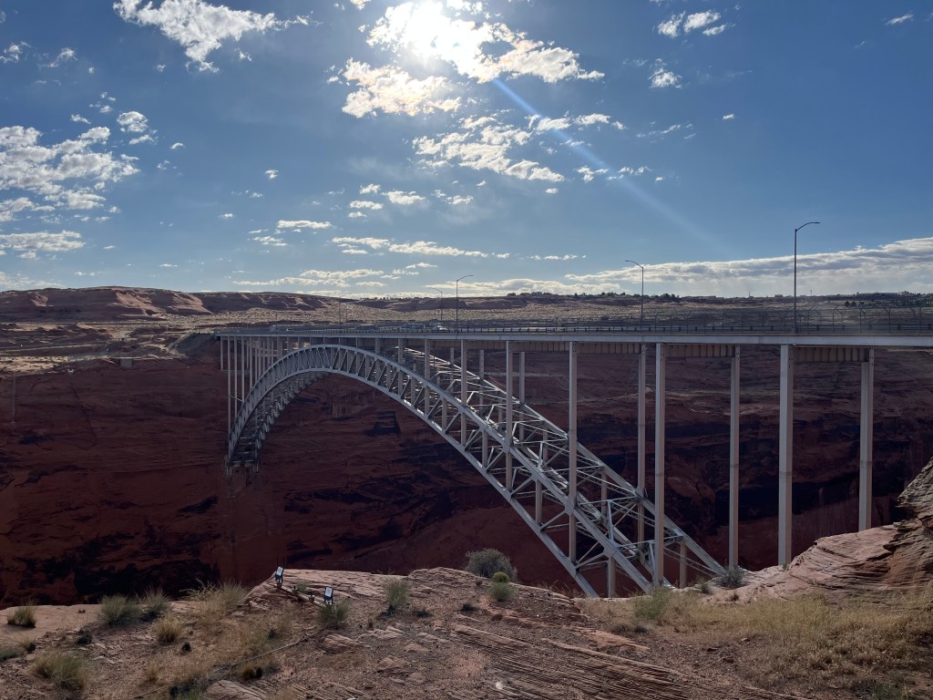
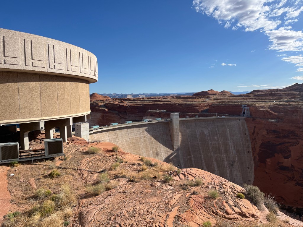
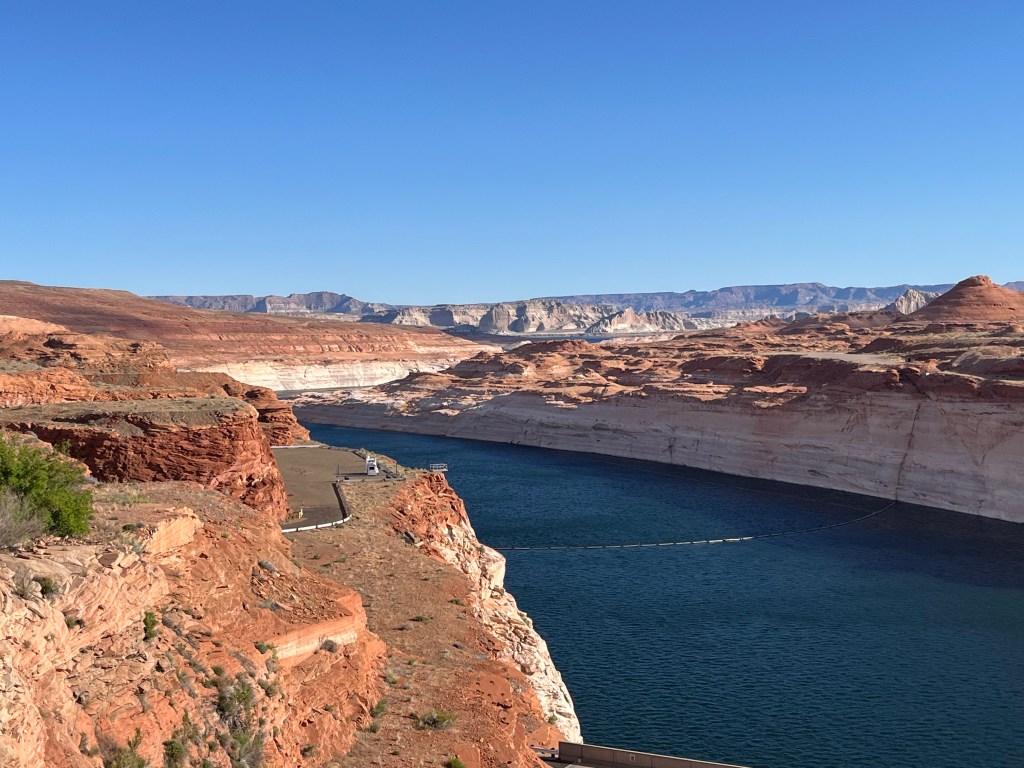
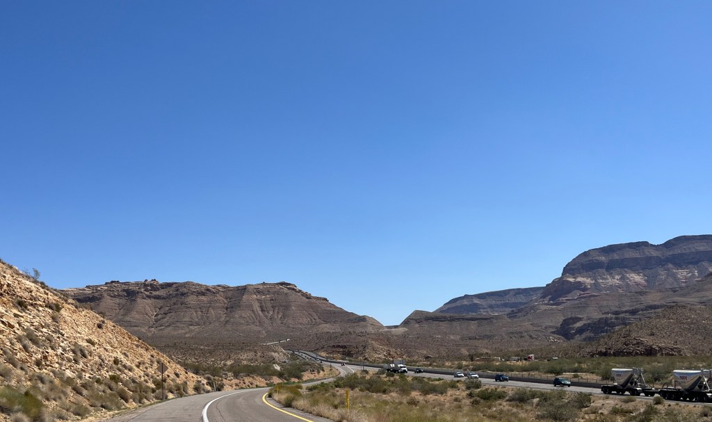
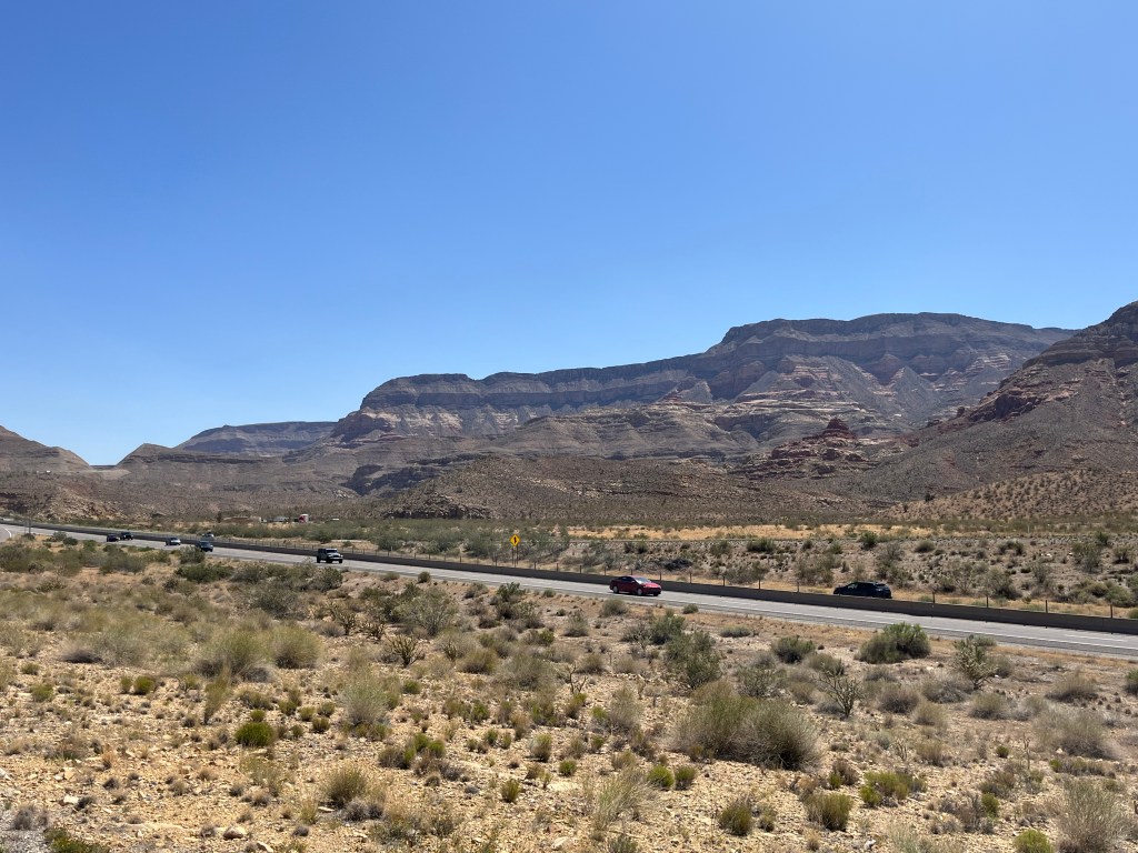
We began our drive just before sunrise and watched the Great Basin wake up. Though we drove ourselves all over Costa Rica and Panamá, it had been a long time since we had a road trip like this. Veering away from the most direct or popular route is discouraged in so many countries we visited because it can lead to danger. In the United States, though, you’re more likely to run out of gas than be in any real danger on random roads. With this renewed appreciation for the rural United States, we skirted around the Grand Staircase-Escalante National Monument as well as the Glen Canyon Dam that houses the second largest reservoir in the United States, Lake Powell. We also drove through the “Arizona Strip,” including Virgin River Canyon, which has some of the most dramatic and beautiful landscapes that not enough people visit. After a quick lunch in Las Vegas, Nevada, we finally made it home just before sundown.
Top row: photos from US Highway 89 in southern Utah
Second row: photos of the Glen Canyon Dam and Lake Powell
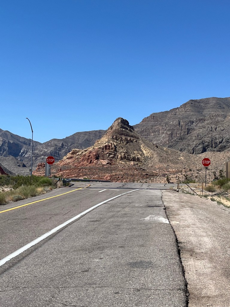
Third row: photos from an off-ramp of I-15 in northwestern Arizona’s Virgin River Canyon
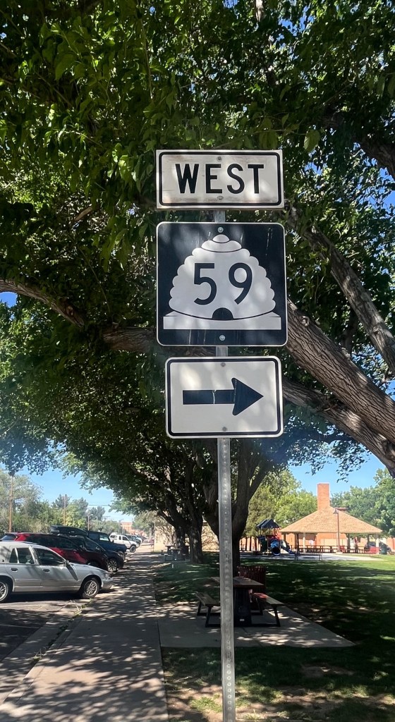
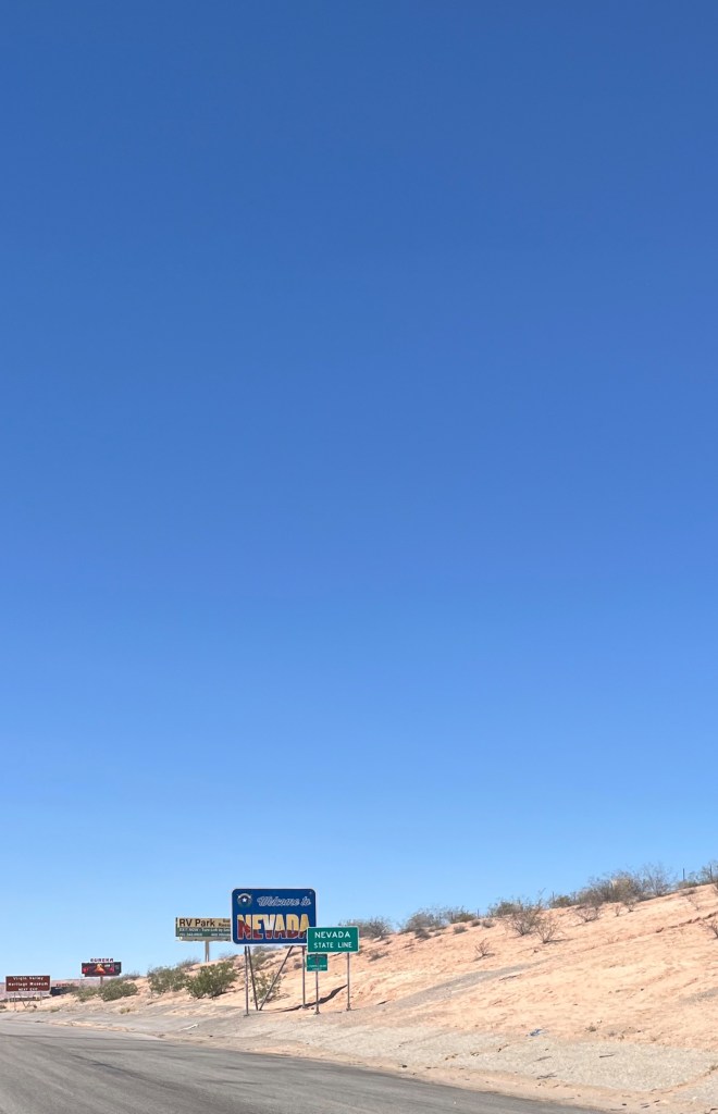
Bottom row, left to right: Utah State Route 59 (note the beehive!); Nevada welcome sign
We’ve got more to share about our return to the U.S. and adventures in Los Angeles – including a house sitting gig with two adorable doggos (not a typo) and lots of yummy bites. Be sure to like, comment and subscribe to Traveling While Introverted so you don’t miss our next post!

Leave a comment